The Golden Gate Bridge’s Hidden Secrets: Centuries-Old Mysteries Concealed Beneath Its Beauty
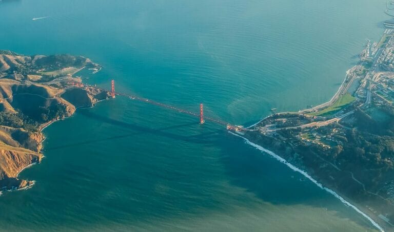
Over the years, countless tourists have been snapping pictures of the scenic Golden Gate Bridge that links the City of San Francisco to Marin County. Comprising 4,200 feet of glorious man-made steel, the structure once held the world record for being the tallest and longest suspension bridge. It earned this title the moment construction was completed in 1937.
Postcards of the bridge are sold and shared, reminding people of the memorable experiences they had in San Fran. However, these cheery snapshots are unable to capture what lurks beneath the bridge’s beautiful aesthetics. Far below the majestic structure lie ghastly secrets that have been drifting in the abyss for more than a century. These vestiges of the past have been awaiting acknowledgment, ready to answer our questions in the hope of finding eternal peace in return.
The Dark Depths of San Francisco Bay
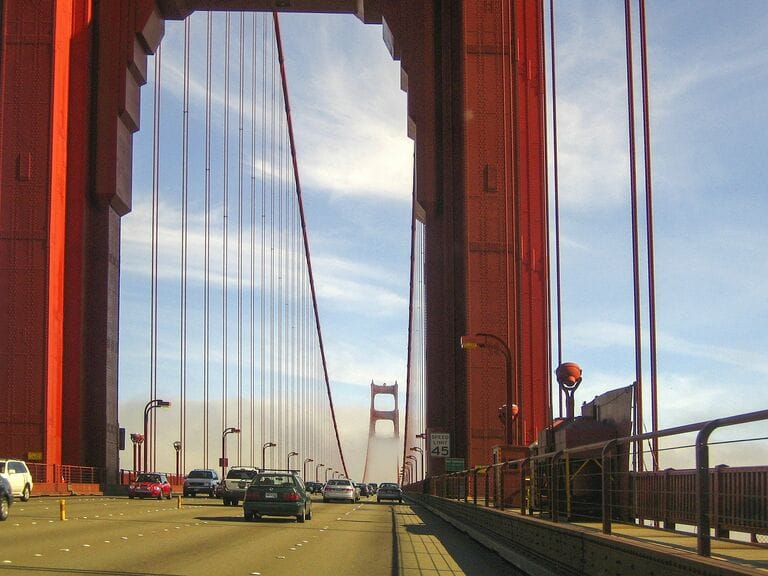
The structure, designed initially by the determined engineer Joseph Strauss, is an architectural wonder, with two bridge towers standing upright like sentinels, guarding over the turbulent Golden Gate Strait after which the bridge was named.
Source: Pixabay
The bay was only sailed through for the first time in 1775. Nowadays, thousands of commuters travel across the Golden Gate Bridge without paying much attention to its rich history. Automobiles and bicycles are often blinded, as past navigators from Europe and Asia had been, by the thick fog that regularly blankets this narrow passage.
World Famous
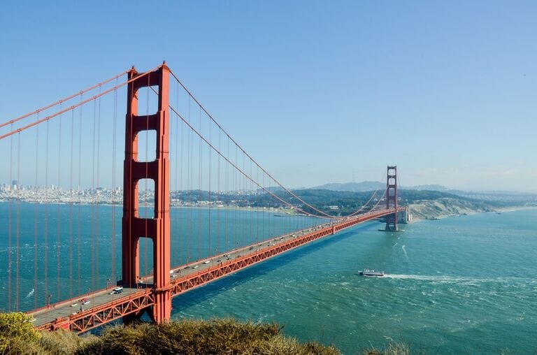
The famous landmark is responsible for making the lives of those living in San Francisco and Marin County more convenient. It played a part in developing the region, making it more commercially viable and boosting its tourism industry as it draws around ten million people to visit every year.
Source: Pixabay
Many of those who cross the Golden Gate Bridge are pedestrians, reminiscent of its early days when people celebrated its construction by walking, tap-dancing, and riding bicycles across it. Little did they know of what was buried underneath the strait.
Historical Enlightenment
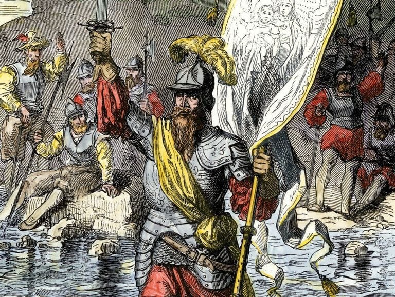
It’s high time that the specialists of the National Oceanic and Atmospheric Administration (NOAA) unearth what they can of the secrets kept in the deep. With some data gathered about its geographical location, they hope that modern technology will be able to lead them to more discoveries.
Source: F.E. Wright / Wikimedia Commons
In spite of today’s technological advancements, they know how difficult it will be to get past the strait’s dangerous currents – a natural barrier that has undoubtedly claimed many lives. Coupled with strong winds and a haze that has deterred many adventurers of old, it’s enough to fill even the hardiest soul with dread.
Risky Passage
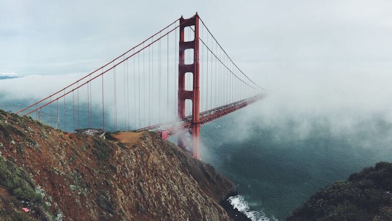
For many years, this small opening had been kept a secret from foreign sailors, who could only guess that coastal ranges stretched far and wide beyond its foggy atmosphere. Most of these travelers felt it was too risky to venture into the fog, so they veered away from it.
Source: Pixabay
The earliest ones to spot the opening did so on land, way back in 1769. It took six more years before the Spanish Naval Forces gained access through the San Francisco Bay.
Treacherous Deep
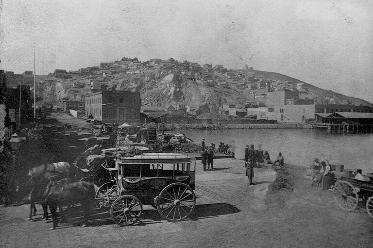
Early adventurers found themselves in the midst of confusion caused by the battering of their ships by the treacherous current of the Pacific Ocean, which eventually led them crashing against jagged, partially exposed coastal rocks. The masts battled wildly against the gale as seafarers were thrown overboard mercilessly by storms.
Source: Getty Images
Every failed ship led to another attempt until more foreign travelers were able to navigate successfully through the bay, anchoring at ancient ports that are now part of San Francisco’s reclaimed land.
Early Settlements
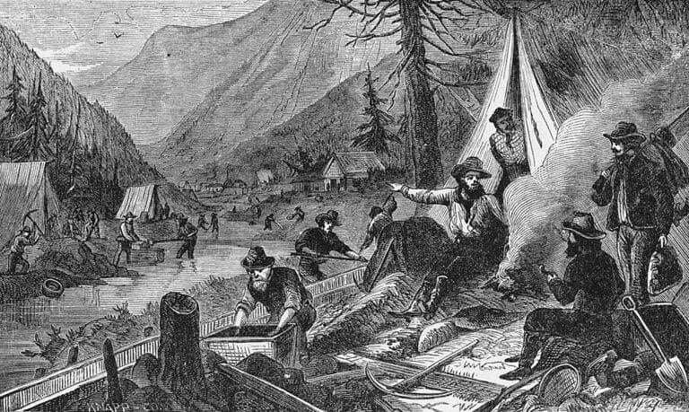
Settlements were gradually erected by early Spanish explorers, led by Juan Manuel de Ayala. Despite their poor navigational guides and charts, more sailors eventually entered and settled around the growing harbor.
Source: Getty Images
The area eventually gained freedom from Spain, which had ruled it under a mission system. At that time, it became the territory of Mexico. This was eventually turned over to the United States after the conclusion of the Mexican-American War. Its growth developed rapidly with the advent of the Gold Rush in 1849. San Francisco was poised to be the West Coast’s largest city.
Gold Rush
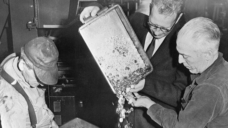
When word came through about the accidental discovery of gold nuggets along creeks and streambeds in California, it spread like wildfire. In spite of the locals’ attempts to keep this a secret, before they knew it, the Gold Rush was upon them, drawing hundreds of thousands of people from all over the world to California.
Source: Getty Images
San Francisco’s ports became the center of global attention, and this reinvigorated the local economy. However, the Golden Gate remained a tough challenge for every outsider to endure before they could settle in and hunt for gold.
Geographical Hurdles
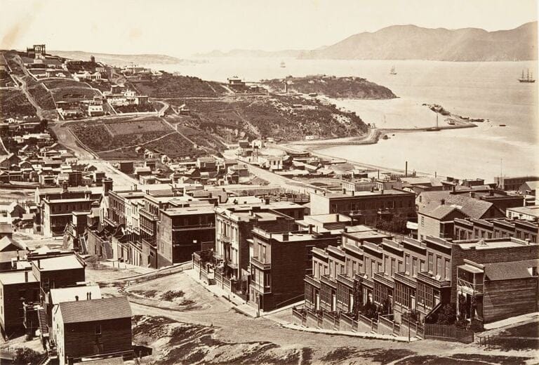
If there was one factor that could cause San Francisco to stagnate, it was the region’s geographical restrictions. In spite of its coastal developments, the area could not establish a sustainable link with other communities and settlements around the bay. It was painfully isolated and would have been locked out entirely if not for its ports.
Source: Getty Images
The only mode of transportation to San Francisco and the region now known as Marin County was by boat. They had to do better if the city were to develop. So local authorities brainstormed endlessly, hoping for the right idea to come.
An Impossible Endeavor
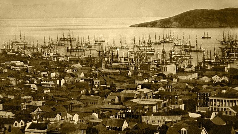
With no alternative routes to and from San Francisco, the city’s development was in a precarious position. Traveling by ship was still too dangerous, making it unreliable as a sole mode of transport. The concept of building a bridge was finally put forward.
Source: Wikimedia Commons
However, it was unanimously deemed an impossible feat. At around 372 feet, the channel was simply too deep for engineers to install stable foundations. It was often beset by strong winds and poor visibility, and the water current was rough and unpredictable. Still, they eventually ran the idea by some engineers.
Many Challenges
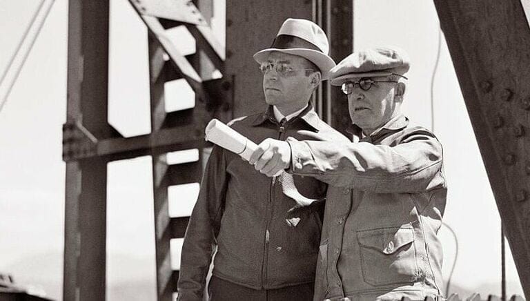
The initial budget presented to complete the project was sky-high. The design Strauss suggested was met with criticism and doubt, and the US Navy feared unnecessary ship traffic could accumulate in one of its important harbors. If the bridge was not high enough, larger vessels could be in peril when crossing, especially during high tide.
Source: Getty Images
Authorities didn’t have many options on their hands. The concept of a bridge was also a threat to the ongoing ferry business. All these challenges nagged at them, and that was before the environmental hazards had even been taken into account.
The Initial Design
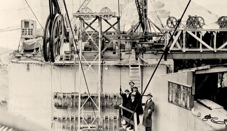
Joseph Strauss was confident enough to present his plan to build a bridge with massive cantilevers protruding from both ends. These, he explained, would be supported in the middle by a specially designed suspension. The construction budget would’ve cost around $400 million today.
Source: Getty Images
A compromise was reached between Joseph Strauss and local authorities that other specialists would have to be brought in to incorporate design improvements based on individual expertise. It was a reasonable proposal since Strauss had no experience in building bridges of this magnitude.
Realization of the Project
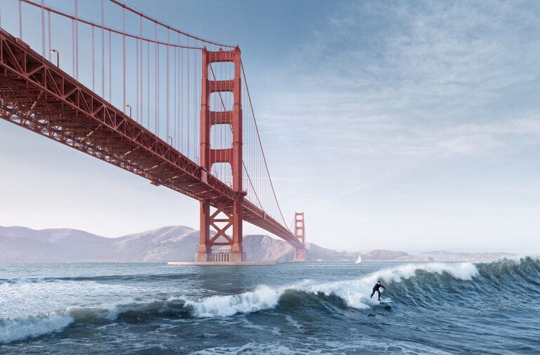
Thanks to the input of various structural experts who worked hard to complement each other, a realistic picture began to form. From its artistic design to its cable suspensions, railings, lightings, and towers, the bridge was ready to build. In 1937, the project many thought could never be done was finished at last.
Source: Jim Smithson/Getty Images
Now, the landmark is a favorite among locals and tourists alike, deemed a modern-day wonder of engineering. It remains highly dependable, and its design is as graceful as it is long, reaching out through the Pacific Ocean like a ballet dancer’s slender arm.
Golden Gate Bridge Today
More than eighty years since the supposedly impossible project’s completion, the link between San Francisco to Marin County accommodates more than a hundred thousand vehicles a day. This is a figure that would have been laughed at for its utter unattainability during the Gold Rush days.
Source: Darwin Fan/Getty Images
People are able to traverse conveniently in minutes, safely suspended above the ripping currents responsible for numerous disasters through the years. The deaths of countless travelers seeking a better life have been attributed to these waters. Many damaged hulls and gashed ships were swallowed into the belly of the ocean.
Age-Old Secrets
With commuters able to go across with ease, it seemed that the dark secrets beneath the bridge would lose the attention they once demanded, fading further beyond visibility in the turbid waters.

Source: U.S. Navy/Wikimedia Commons
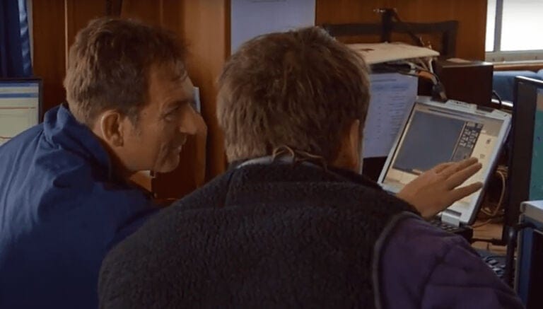
However, the researchers at NOAA never lost sight of their mission to uncover these underwater mysteries. They were armed with technological equipment that gathered the data they needed. With charts of the ocean, atmospheric monitoring systems, weather forecasting, and more, they were able to zero in on their target.
Scanning the Ocean Floor
Researchers at NOAA keep a close eye over the planet’s systems and analyze all pertinent data. They have the ability to scan the ocean floor with the latest instruments, and they are official stewards of the Greater Farallones National Marine Sanctuary. This preserved marine environment is close to the California coastline.
Source: Youtube
Tasked with the assessment and with forecasting changes in the environment and its marine species, researchers from NOAA consistently observe and scan the bottom of the ocean. This allows them to complete extensive studies and discover new organisms.
Underwater Discoveries
Not only are they interested in atmospheric changes and complex conditions but also the treacherous currents around the Greater Farallones National Marine Sanctuary. They scan the depths of the ocean for scientific aims. Once in a while, they’re surprised by what they are offered by the dark abyss.
Source: Youtube
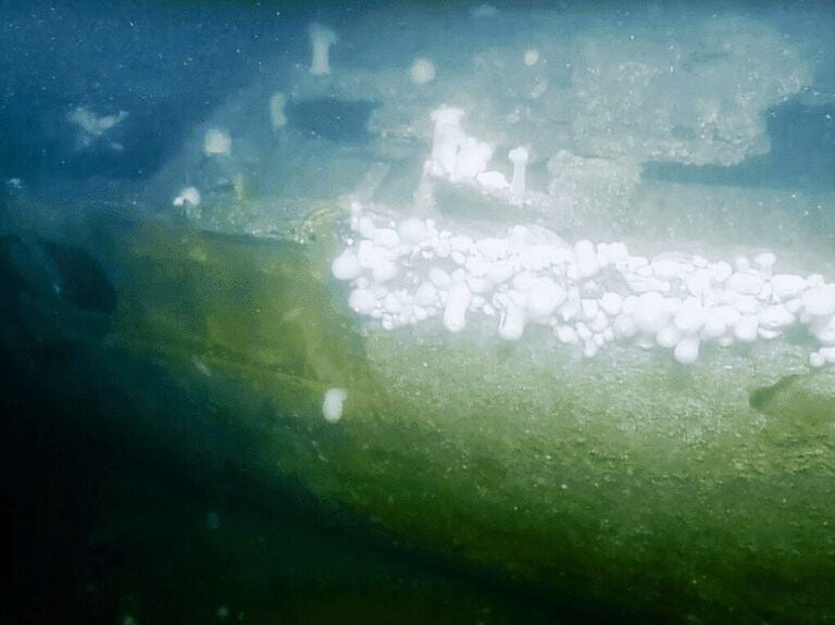
As if to hide from the prying eyes of scientists, old shipwrecks cover themselves with barnacles, turning into accidental reefs. However, these disguises aren’t thorough enough to trick the researchers.
More Shipwrecks
Heavily covered in moss, these wrecks that now lie on the ocean floor used to be lively and operative on the windy surface, full of life and the spirit of adventure. They are examined by researchers for their historical and economic value, and more of them keep showing up, pushed into view by the tides.
Source: Youtube
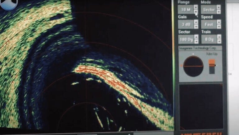
NOAA specialists decided it was time to scan closer to the Golden Gate Bridge with a multibeam sonar. They found a string of locations that sparked their curiosity, beckoning them to advance further.
Historical Significance
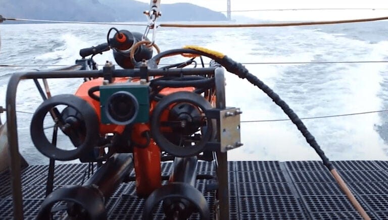
Spotting one shipwreck after another has proven hypnotic to these scientists, whose curiosity seems insatiable. People used to scour the seas from the main deck of these ships, peering through the telescope in search of uncharted land from underneath the masts. Now, sharks, deep-sea fish, and worms reside in and around their remains.
Source: Youtube
Researchers sent down ROVs (Remotely Operated Vehicles) to probe these wreckages more closely, hoping to understand more about them, especially in reference to the Golden Gate Bridge’s rich history.
The Discovery of Noonday
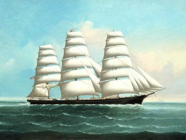
Underwater sonar spotted what researchers believe was the medium-size clipper ship, Noonday. It was meticulously built in 1855 and was known for its beautiful design. The ship used to transport gold prospectors and breakbulk cargo into San Francisco, along with many others drawn by the Gold Rush.
Source: Lai Fong/Wikimedia Commons
Noonday continued to sail past those days of economic excitement that brought around three hundred thousand people and grew San Francisco into a city. It was said that people rushed directly from their ships, leaving them behind to search for gold.
Final Voyage
The clipper, designed for speed, had been in service for eight years when it met its fate in San Francisco. Unlike most ships that entered the area in distress, Noonday sailed in when the weather was ideal for travel, on the 1st of January, 1863.
Source: keeperofthezoo/Getty Images
They must have been in a festive mood on New Year’s, and the environment seemed to cooperate with their arrival. Then tragedy struck in the form of a partially submerged rock that damaged the ship’s hull. The value of its cargo was estimated to be around $600,000.
The Fate of the Noonday Sailors
After the ship struck the uncharted rock, it was able to buy the crew time to safely disembark. Being close to the harbor, a pilot boat was able to come up at short notice and save all of the crew from doom.
Source: Heritage Art/Getty Images
The stealthy rock that it accidentally rammed was eventually called Noonday Rock. Like all the other ships that have become victims of the Golden Gate’s treacherous waters, the location of Noonday had been long forgotten. The ship itself was barely noticeable under scanning sonars in 2014.
Identifying the Noonday Debris
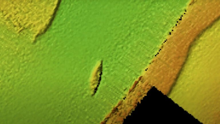
The general goods that Noonday transported to San Francisco from Boston were said to be worth $600,000 in today’s currency. After 139 days of travel, its high-valued cargo was mostly lost to the ocean, unable to be salvaged. None of these precious goods could be identified on the transducer screen.
Source: Youtube
In fact, the images reflected back by soundwaves were obscure. However, the researchers made sense of it because of its size, the background data they had on the ship, and its proximity to the infamous Noonday Rock, where history tells us it ran aground.
240 Feet Underwater
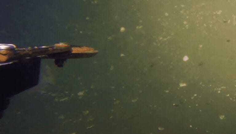
The midsized clipper was capable of carrying 1,500 tons worth of load, and the length of its hull was 197 feet, with large sails above the main deck. However, 160 years had passed since it ran aground, so the ROVs NOAA sent couldn’t pick out its debris from the muck.
Source: Youtube
They knew it was there from the digitized images displayed on the sonar screen. James Delgado, maritime heritage director of the NOAA, says there is no doubt that Noonday is there, although its vestiges are blanketed under the seabed.
The Remains of S.S. Selja
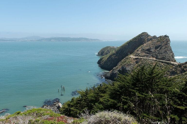
Under the wide blue spread of the Pacific Ocean, at the feet of the Golden Gate Bridge, lies a boneyard filled with 19th-century wreckages. Reports say this is the final resting place of hundreds of shipwrecks.
Source: Youtube
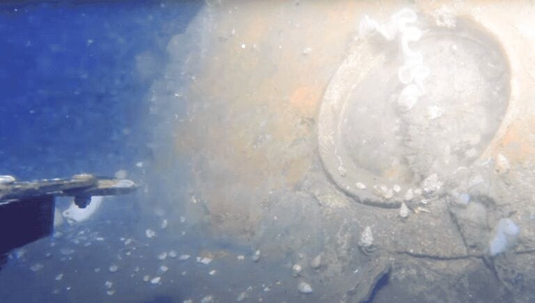
Soon after researchers identified the location of Noonday, they found the remnants of the Steam Ship Selja. This workhorse was built in 1907 in England, and it traveled as far as China and Japan before returning to San Francisco.
Surprised by the Discovery
NOAA officials were pleasantly surprised that their Noonday discovery inadvertently led them to the steam ship’s location. In contrast to the frustration of their previous find, they were amazed that the ROVs actually found remains of S.S. Selja, which went underwater off Point Reyes.
Source: Carol M. Highsmith/Buyenlarge/Getty Images
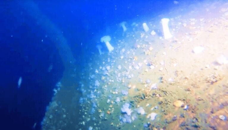
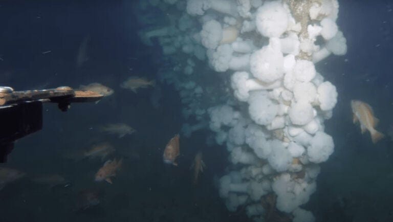
Because of the violent nature of its downfall, nobody expected to see many parts of the ship intact. At the time of its discovery, the Selja had become an artificial reef – far from its original purpose of carrying goods between America and the Far East.
Collision with S.S. Beaver
The S.S. Selja was closing in on its destination, not far off the Golden Gate strait, on November 22, 1910. It continued to sail at a regular speed into the dense shroud that bedeviled sailors on the approach to the San Francisco harbor.
Source: Youtube
Instead of shutting off the steamship’s engine upon hearing the whistle of the S.S. Beaver, it continued to sail blindly into the haze, thinking that the warning came from 20 miles away at Port Bonita. This decision led to a collision that cost the lives of two people.
Court Ruling
Fortunately, the S.S. Beaver was able to survive the accident and quickly turned back to San Francisco harbor. Its owners were sued by Olaf Lie, captain of the S.S. Selja, who was eventually found to be at fault by the ensuing investigations.
Source: Youtube
Reports say that Lie should have practiced more caution upon entry into the fog and that the engines should have been turned off at the first warning of an incoming vessel. His negligence caused the unnecessary loss.
Two Unidentified Ships
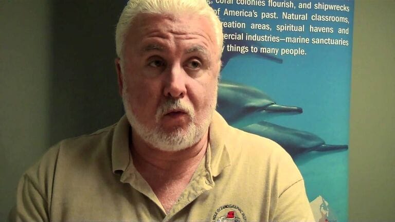
After NOAA’s first two discoveries in the area came two more wreckages regarding which they didn’t have enough information to draw a conclusion. During the last couple of days of the survey, it seemed that there was far more work to be done than initially expected.
Source: Youtube
The vestiges of one of the discovered shipwrecks looked to be in very bad shape after its long exposure to seawater. The other was a tugboat covered with multiple fishnets that wavered on the edges like a dark cape billowing in the wind.
300 Estimated Shipwrecks
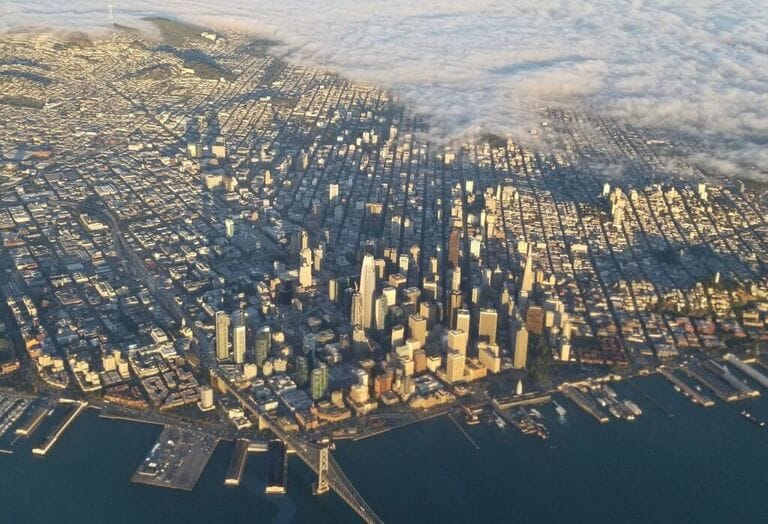
The influx of hundreds of thousands of gold-seekers had many effects on the city of San Francisco. Sadly, this involved the region seeing many of its indigenous peoples being marginalized. It was a risky venture, but people took their chances on back-breaking work that could open up years’ worth of profit.
Source: DANIEL SLIM/AFP/Getty Images
This used to be a vital American port for the trade industry. The ship traffic in the area was at its peak during the Gold Rush, despite the channel’s deadly current and strong winds. This explains why so many sunken vessels have been found.
Spanish Galleon
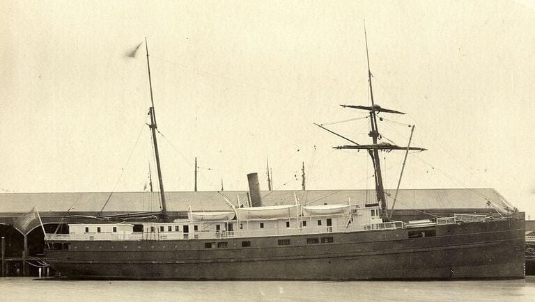
Two hundred years prior to the consolidation of Spanish rule, the Spanish Galleon San Agustin visited the San Francisco area carrying Chinese goods via the Philippines. They were on their way to Mexico.
Source: San Francisco Maritime National Historic Park/Wikimedia Commons
Archeological data found in the area suggests that this is the oldest shipwreck around the Golden Gate National Recreation Area and the marine sanctuary. So far, on record, the most recent to have succumbed to the tumultuous environment was a Puerto Rican tanker back in the 1980s.
More Work to Be Done
Roughly a week’s worth of underwater exploration around the San Francisco bay area was hardly enough for NOAA researchers to grasp its whole history of shipwrecks. It is a graveyard, they now realize, of 16th-century ships onwards, filled with voyagers from perhaps every continent.
Source: SF Chronicle/Wikimedia Commons
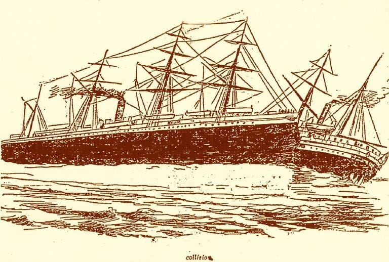
Ships have been twisted and broken in half after nose-diving down the ocean. What researchers couldn’t see through their submersible ROVs they have felt by reading historical data. Another shipwreck they’ve identified is that of the S.S. City of Chester.
Fate of the S.S. City of Chester
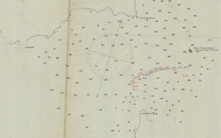
The S.S. City of Chester was on its way to the city of Eureka, California, one foggy day when it collided with the R.M.S. Oceanic that was entering the harbor from Hong Kong. Both ships were aware and had sufficient visibility of each other.
Source: Tumblr
However, the City of Chester was carried by the tide beneath it into the incoming ship’s path, and it was cut in half. Oceanic cut into it like a knife through warm butter. Sixteen people aboard the Chester died, despite valiant efforts to save them.
Found Below the Bridge
Researchers can only imagine the new excitement that comes to every traveler dreaming of new beginnings. This joy was infused in the hearts of the ship’s passengers as they neared the bridge, just minutes before the accidental collision that also killed two children.
Source: NPS/Wikimedia Commons
More than 120 years after that tragic accident, some remains of the sliced-up ship still rest approximately 400 feet below the Golden Gate Bridge. A ghost ship existing in another dimension, this wreck is invisible to the traffic cruising above it. The next famous discovery was the S.S. City of Rio de Janeiro.
Steamship City of Rio de Janeiro
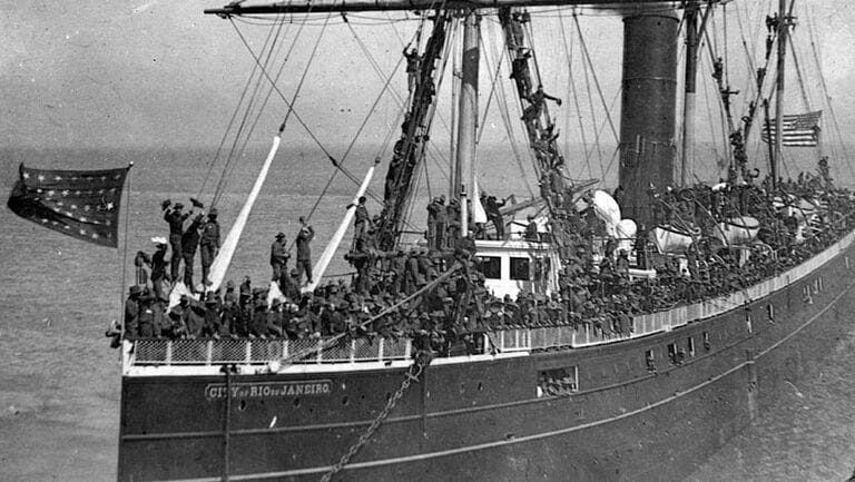
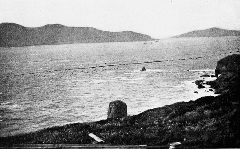
Early voyagers relied so much on human ability and rudimentary senses capable only of giving approximations when crossing vast oceans or narrow channels. They were highly vulnerable to errors, as the crew of the S.S. City of Rio de Janeiro discovered when they were painfully close to their destination.
Source: Wikimedia Commons
Without modern equipment, entry into San Francisco had so many hidden hazards. The fog was dense, an outbound ship could be on a collision course, and the undercurrent and strong winds could be wild even when there wasn’t a storm raging.
The Deadliest Shipwreck
The crew of the City of Rio de Janeiro thought they had all that covered as they sailed cautiously, coming in from Hong Kong, carrying Chinese immigrants dreaming of a new life in a burgeoning city, of new jobs and profits to be made.
Source: Tumblr
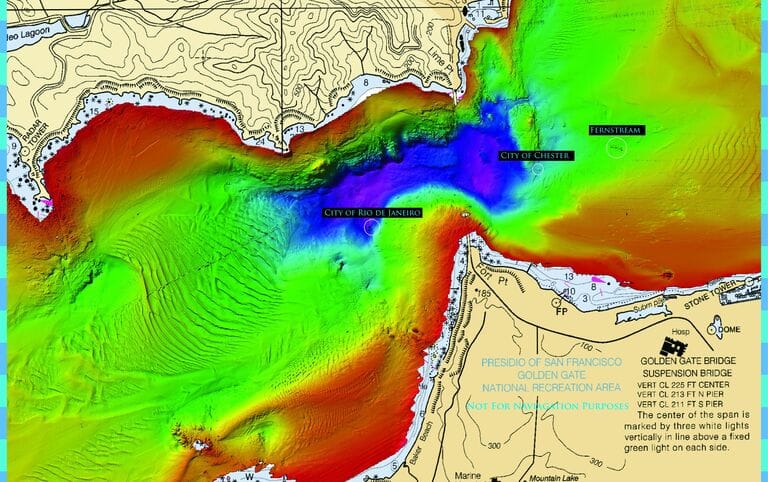
The ship fell prey to a sharp reef that cut through its belly like knives, killing 135 people who were so full of hope just moments ago. This remains the deadliest shipwreck in the history of the Golden Gate Bridge.
Mysterious Tugboat
Thanks to the modern equipment available to NOAA experts, a digitized image of the steamship’s deathbed was generated in glaring color. For the first time after hundreds of years, the site doesn’t look so ghastly at all, and it’s now fairly easy to locate.
Source: Frank101/Wikimedia Commons
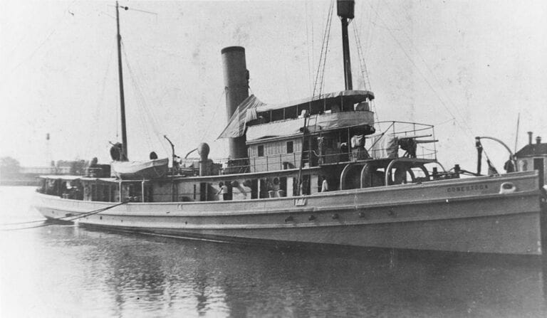
Another discovery close to Southeast Farallon Island made researchers pause in disbelief. Though they had uncovered many shipwrecks, these ancient vessels had nothing on this latest find. In October 2015, after further investigation, they confirmed its identity as the U.S.S. Conestoga.
The U.S.S. Conestoga
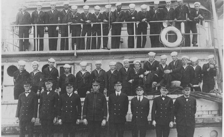
World War I was fought by more than thirty participating countries and the U.S.S. Conestoga, 170 feet in length, was a busy bee for the U.S. Navy. It was assigned many times as an escort to large convoys, and it generally transported guns and ammunition.
Source: U.S. Navy/Wikimedia Commons
It was small but followed its role to the hilt until it mysteriously vanished along with 56 passengers on its way to Samoa in 1921. Despite an extensive search and rescue mission, the vessel was never to be found nor heard of again.
Accidental Discovery
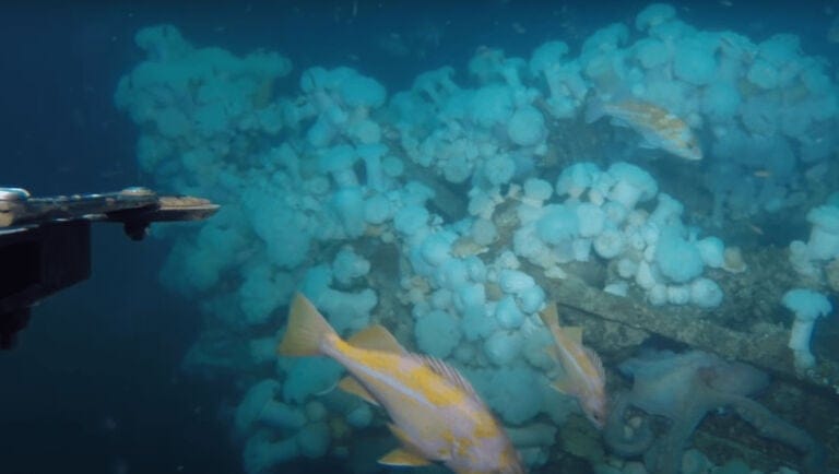
The only vestige found of the U.S.S. Conestoga, after it departed from Mare Island in California, was its lifeboat. The forlorn little boat was found listlessly floating in the open sea. A hundred years since its mysterious disappearance, the original members of its search and rescue teams have now long since passed on themselves. So, the NOAA researchers were lucky to stumble upon it.
Source: Youtube
This makes us wonder how many more secrets are still submerged, waiting for inadvertent sonar beams to echo back up the telling contours of buried historical treasures. Hopefully, we won’t have to wait another hundred years for the answer.
